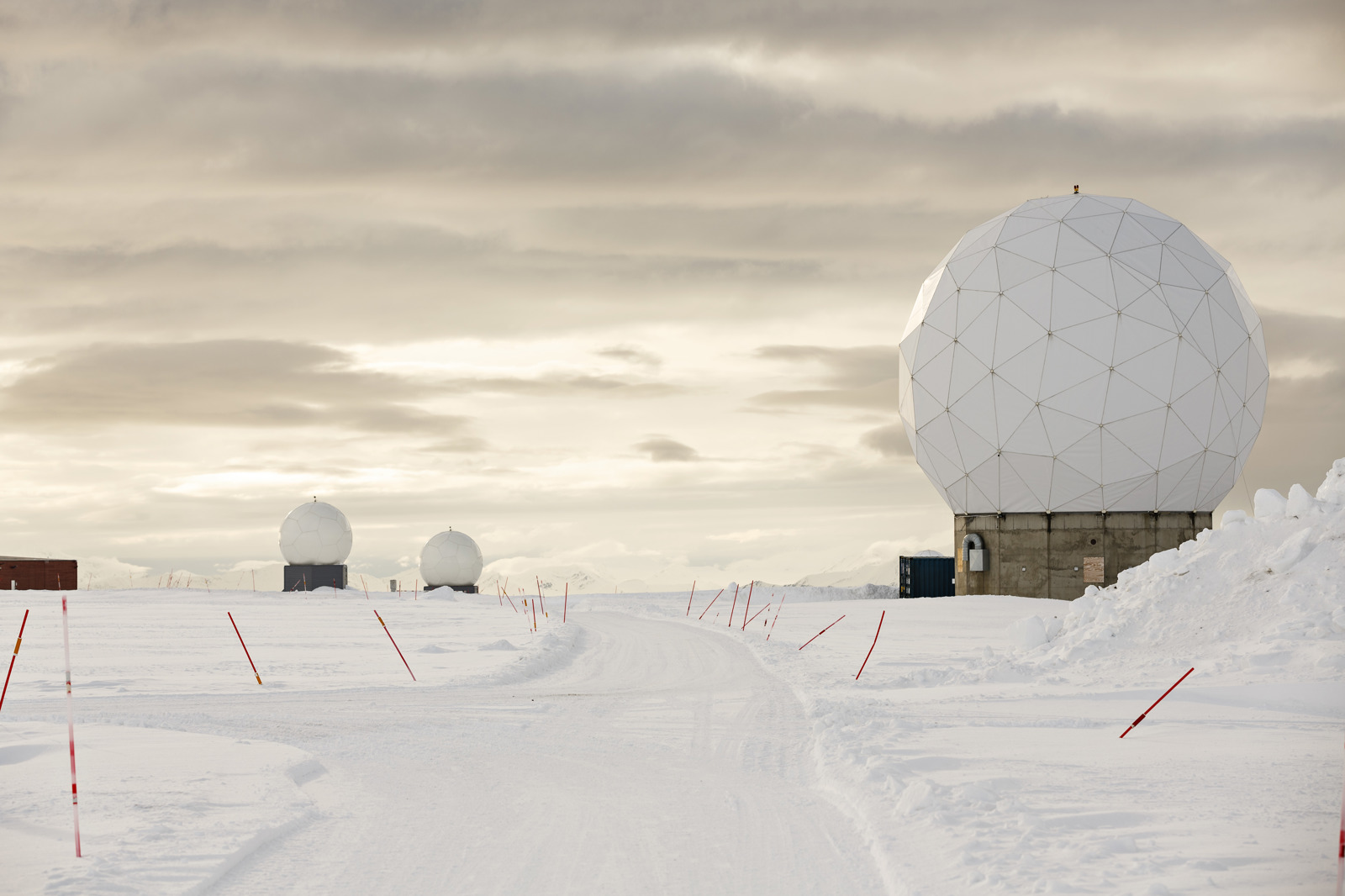
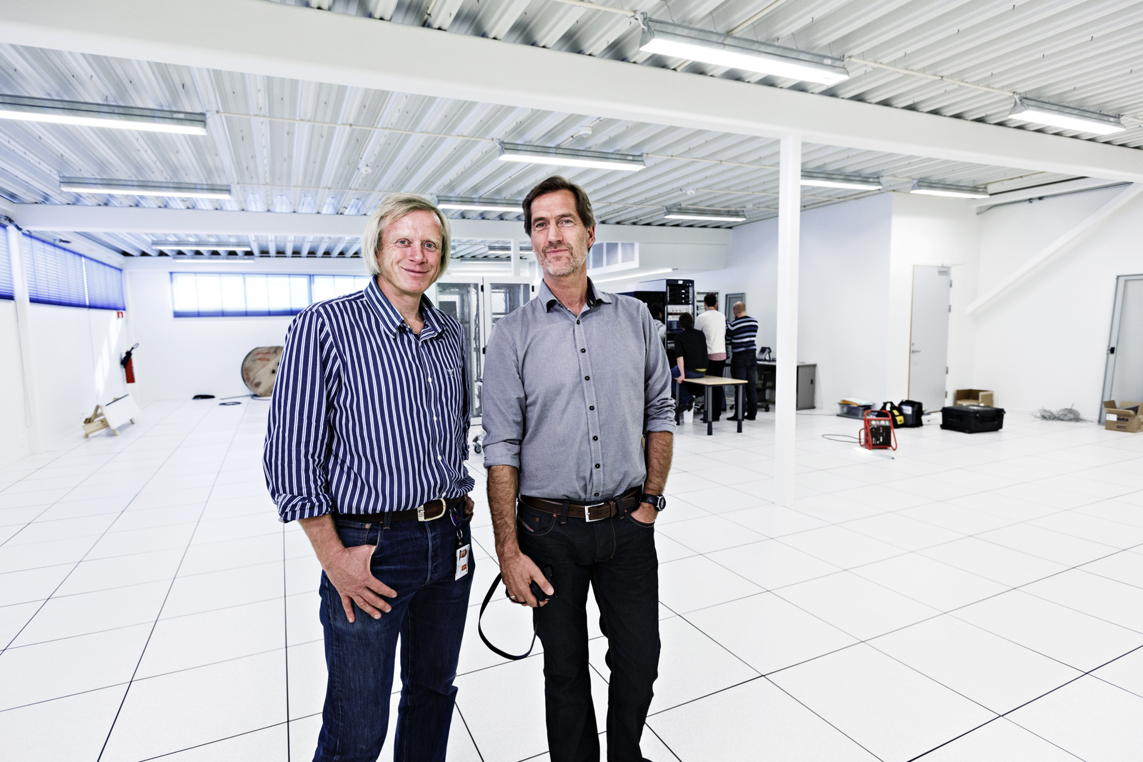
This room will house the data capacity required to ensure a safer working envi­ronment for seafarers in North Europe and the Barents Sea. The increase in demand for satellite data is good news for KONGSBERG.

  • Ove Ronny Haraldsen
    Group Communication Manager

Managing Director of Kongsberg Satellite Services (KSAT), Rolf Skatteboe, surveys his surroundings with satisfaction. The large, empty, white hall at the KSAT premises on Spitsbergen, Sval­Sat, is soon to be filled with processors, receiving equipment and other electronic installations.

“The agreement between the EU and KSAT involves service provision for a pe­riod of ten years. It has a maximum value of NOK 25 million per year,” confirms Mr. Skatteboe.

The contract referred to is the one awarded by the EU to SvalSat in the spring, with the objective to provide a safer working environment for seafarers in North Europe and the Barents Sea using satellite data. The resulting project, “Meo­lut”, together with the Galileo navigation system, shall collect potential emergency signals from vessels sailing in this area.

WEATHER FORECASTS 
Two new aerials worth NOK 15 million are now being built at SvalSat in order to capture these signals. Rolf Skatteboe un­derlines the importance of this project.

“We are proud to see KONGSBERG engi­neers playing a part in the project develop­ment and who will also be involved with future operations. The increase in shipping in the north is obviously an important factor for the realisation of this project,” he says.

He goes on to explain in simple terms the main tasks for KSAT under the project: “In short, we have two jobs to do: We watch over people’s satellites and we use the data to produce services. The data could be weather data, vessel tracking, monitoring for oil spills, movement of ice­bergs, the list goes on,” says Mr. Skatteboe.

“Our delivery performance is 99.8 to 99.9 percent. As such, we are very compet­itive. I like to put it plainly by saying that if SvalSat does not work, there would be no weather forecasts in the USA and Europe. It’s almost the truth,” he says with a smile.

MORE THAN 200 NEW SATELLITES
There is substantial growth on the market for satellite data. In the period leading up to 2021, a total of 263 new satellites are scheduled for launch. These are mainly launched from the USA, Russia, China and India. With locations in Tromsø and on Spitsbergen, KSAT and SvalSat gain a unique competitive edge.

“Each satellite orbits 14 times per day. Being located so close to the North Pole, SvalSat sees the satellites each time they pass,” explains Mr. Skatteboe. 70 so-called polar-orbiting satellites, or satellites which pass by the poles on each orbit around the globe, are operated from these stations.
We move south from Spitsbergen, to KSAT’s head office in Tromsø. It is also evi­dent here that there has been a marked in­crease in demand for satellite data.

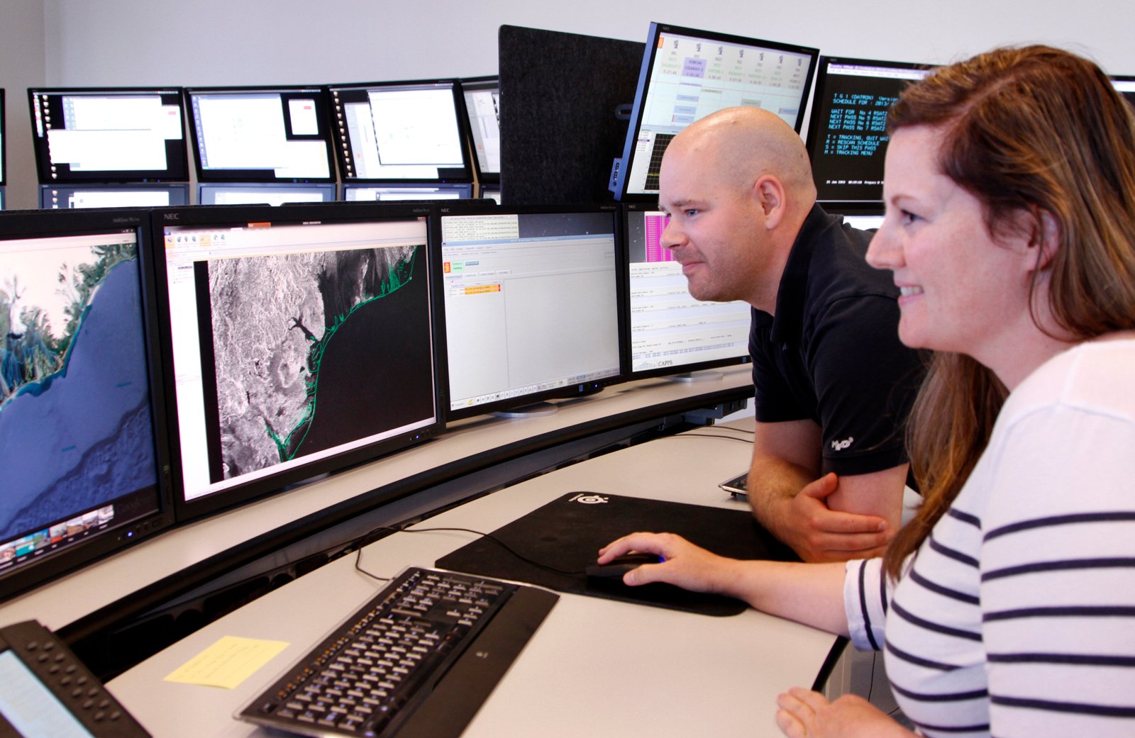
OPERATIONS ROOM: The new operations room for processing satellite data was completed in 2013. This is the workplace for production engineers CathrineWaage and Jon Christian Richards, where they help international oil companies and the coast guard services detect environmental crime, such as oil leaks.

The new operations room for processing satellite data was completed earlier this year. This is the workplace for production engineers Cathrine Waage and Jon Christian Richards, where they help international oil companies and the coast guard services to detect en­vironmental crime, such as oil leaks. Their business segment is known as earth obser­vation services and they mainly deliver and develop services related to observations of oil spills, vessels and ice/icebergs.

HELPING DETECT ENVIRONMENTAL CRIME
Over the last two years, KSAT has been awarded contracts which cover differ­ent international waters. The company’s services are ever more relevant and in demand as oil and gas activities move into areas where conditions are increasingly difficult and exposed. Not only have the statutory requirements on monitoring increased in scope and stringency, the oil and gas companies have realised the importance of having improved control of their own operations in these areas.

“There is most definitely an increase in interest in our products. We now receive requests directly from customers who are interested in our services, this is new for us,” explains Marte Indregard, Vice Presi­dent Oil & Gas.

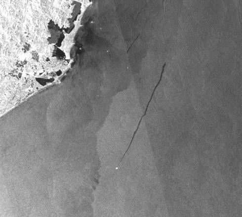
envisat-oilspill-brazil.jpg

The detection of oil spills on satellite images from waters in Mexico, Brazil and Australia is more demanding than in Nor­dic waters. Coral reefs, areas with natural oil spills, a lot of shipping and oil rigs, these all make it more difficult to identify the source of an oil spill.

“Oil forms an inhibitive membrane on the movement of the water’s surface so we always look for dark lines on images when trying to detect oil spills. The fact that algae growths have the same effect on the water’s surface makes our job all the more difficult. It’s decisive that we are able to read and systematise all identified fac­tors,” explains Cathrine Waage.

HIGH PRESSURE ON TIME
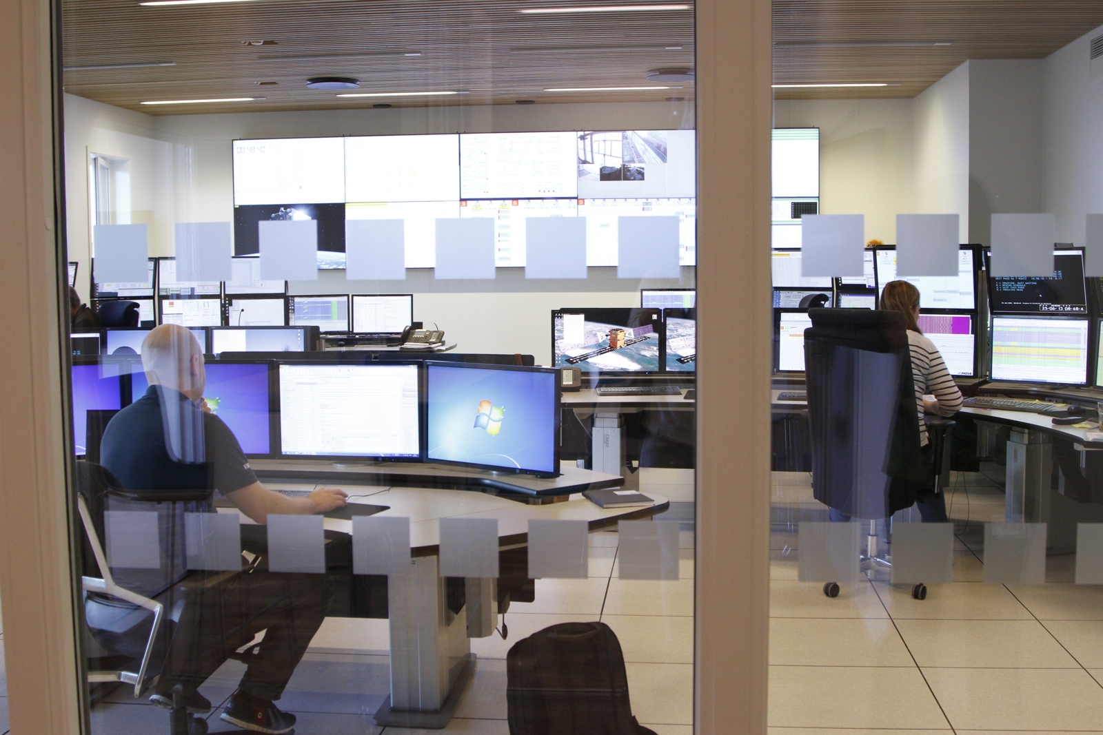
The new operations room is like something taken from an American action or science fiction movie.

One wall is covered in large flat screens. These display the movement of and data from 70 satellites out in space. In front of the wall of screens are three rows of desks. The desks have a number of monitors which the production engineers use to col­late and analyse the data.

“The period of time from five in the morning to ten o’clock is our most hectic. In the space of those five hours, we often have to deliver 25 different images, some with a deadline as short as 20 minutes. With such pressure on time, we have to make some tough decisions quickly,” ex­plains production engineer Cathrine Waa­ge. She has worked for KSAT since 2005. 
“In time, you get used to the pressure, but it still gets to me a bit when things are really hectic.”

Together with Jon Christian Richards, the newly appointed Quality Manager, she has taken the time to have a chat with K-Magazine. The meeting room is next door to the operations room. During our conversation, Cathrine has to make several trips to her desk next door. She has to keep a constant eye on her job.

WHEN THE ALARM SOUNDS…
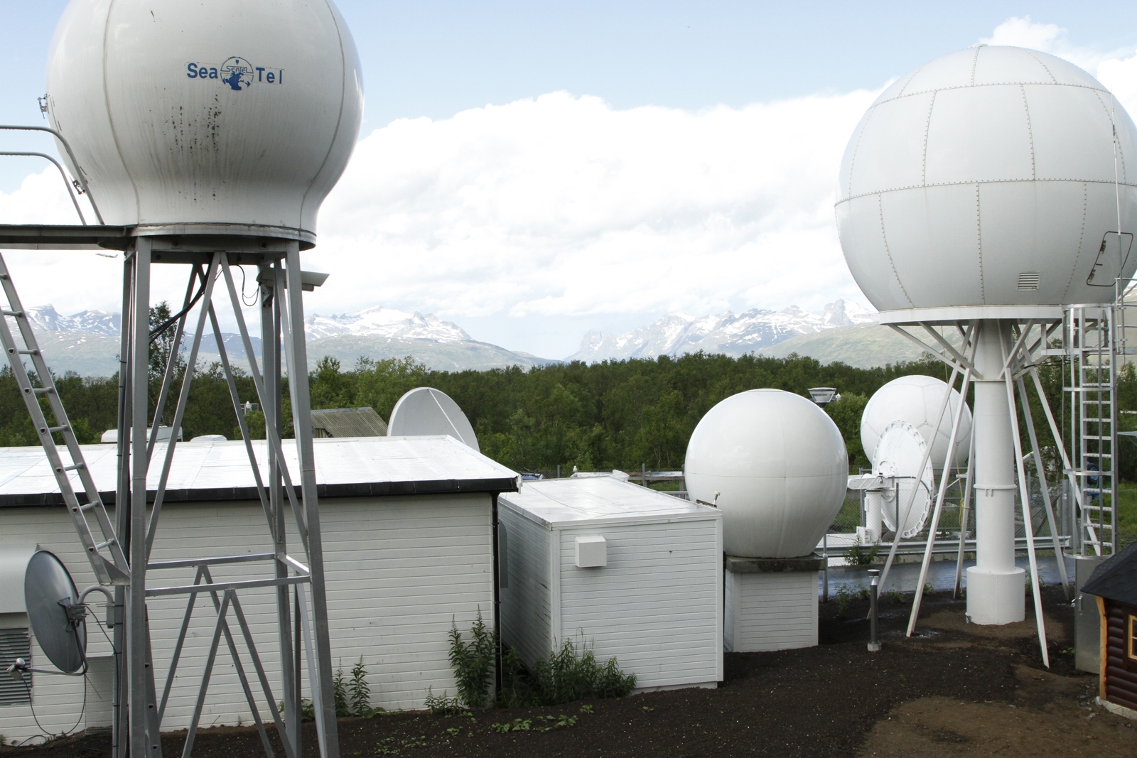
Through the huge windows, we can see what looks like large white footballs. These are aerials used to capture data from the satellites. The satellite images are auto­matically downloaded and processed. However, not even the most advanced mathematical calculations can replace the human eye when it comes to interpreting the content of these images. Expertise, un­derstanding and experience are essential factors in this job.

The normal working day at the opera­tions room in Tromsø follows a pattern with fixed orders for services from custom­ers. However, they also have to deal with the odd emergency from time to time. One example is the Hercules plane crash at Kebnekaise in Sweden in March 2012.

“We were given a couple of hours’ warn­ing that the emergency services needed images of the area. Being involved in such a tragic event stays with you. It’s the same when we take images of an oil spill and the customer tells us that the images have been used as important evidence in a trial. It helps you do your job well, knowing that what we do has an impact,” confirms Jon Christian.

Categories