EM124
Multibeam echo sounder – Widest swath, 20-11,000m
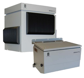
The modular, state-of-the-art EM 124 performs accurate, high resolution seabed mapping in shallow to full ocean depth. The successor to the EM 122, the EM 124’s broad range of functionality supports simultaneous collection of multiple data types, saving time in the planning, execution, and analysis phase. A low noise echo sounder, EM 124 delivers superior data that requires minimal post-processing.
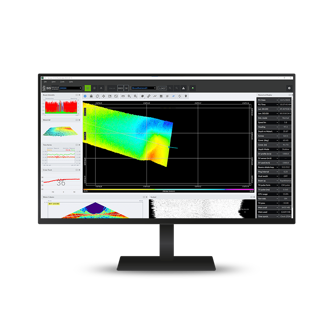
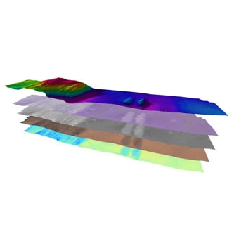
Data images: EM124 multibeam bathymetry data collected using RN Atlantis during an NSF and NERC sponsored research expedition to the Galapagos Platform in April 2023 (AT50-09). Co-Pis of the expedition: Laura Robinson (U. Bristol, UK), Daniel Fornari (WHO/, USA), Dorsey Wanless (Boise State U., USA) and Michelle Taylor (U. Essex, UK). Data acquisition and analysis by Shannon Hoy (NOAA-Ocean Exploration, USA)
Widest swath
The EM124 is designed to perform seabed mapping to full ocean depth with an unsurpassed resolution, coverage, and accuracy. The swath width is typically 6 times the water depth to almost 4000 m depth. A swath width of about 30000 m is generally achievable for deep waters, depending upon bottom conditions and chosen system beamwidth. With a low noise vessel, a swath width of more than 40 km has been achieved.
Modular and flexible design
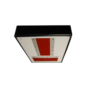
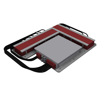
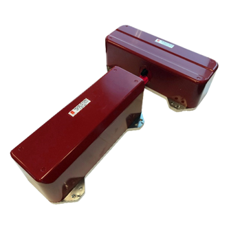
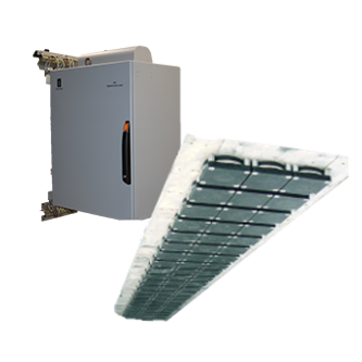
The EM124 state-of-the-art electronics and separate transmit and receive transducers in a Mills Cross configuration. It utilizes the same field-proven transducers as the EM122, making it easy to upgrade. The design is highly modular and flexible with compact electronics for easier and faster installation. The flexible transducer design makes it possible to tailor the system to almost any required size. Ultimate system performance - resolution and range - is achieved with the largest standard size, 0.5 x 1 degrees, whereas the smaller 4 x 4 degrees solution allows full ocean depth surveys, even on smaller vessels.
Full and clean seabed coverage
The transmit fan is divided into up to 16 individual sectors in dual swath mode. This allows for unique control of the transmit fan, enabling active stabilization in real time to correct for any yaw and pitch movement of the vessel, while roll stabilization is applied on the receiving beams. The result is a stabilized system for full ensonification of the seabed with equally distributed footprints, even in bad weather conditions, leaving no gaps or holes in the mapped area. All beams are maintained and automatically adjusted according to achievable coverage or operator defined limits. Up to 1600 individual beams are available in dual swath mode. Two individual transmitting fans are generated with a small difference in tilt giving a constant sounding pattern on the seafloor.
The system produces a strong dampening of multi-bounce interference from false echo, resulting in significantly cleaner data. Near field beam focus is applied in real time, both during transmission and reception. Due to sector transmission the focal point will be individual for each sector, resulting in a much sharper transmit beam over the entire swath. On reception, the focus is done dynamically for each beam. The result is a much higher resolution representation of the seabed.
Key features
- KMall format datagrams
- Choice of beamwidths
- Dual swath, up to 1600 beams
- FM chirp
- Roll, pitch, and yaw stabilization
- Transmit and receive nearfield focusing
- Water column phase logging
- Seabed image
- Mammal protection
- Ice windows available
- Extra detections available
- Choice of beamwidths: 0.5x1, 1x1, 1x2, 2x2 and 2x4
Product range
How can we help?
If you are experiencing any issues or have technical questions regarding your equipment, please don't hesitate to reach out. Our dedicated hydrographic support team is here to assist you with any challenges you may encounter.
Related products
We offer comprehensive after-sales assistance
-
24/7 Technical support
Our Technical Support team is readily available to provide global 24/7 support and can respond to resolve any issues at any time, wherever you are located in the world.
-
Training
We can provide detailed training on the use of our products to ensure your crew is equipped with the necessary operational competence to minimise technical risk and maximise return on your asset investment.
