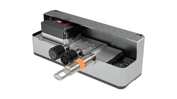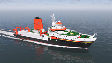
The oceans that cover much of the Earth’s surface remain largely unexplored and have massive potential for scientific research and discovery. Our extensive range of highly versatile seafloor mapping products have advanced functionality for efficient exploration, mapping, visualisation and analysis of the sea bottom to unlock the secrets of the deep. These tools are complemented by the powerful Blue Insight platform for data processing and sharing via the cloud.
Seafloor mapping products are used to explore, map and visualise the ocean and sea bottom, with a modular design that makes them adaptable for varying configurations to suit different types of surveys.
These tools can be operated from any platform, making them ideal for exploring anywhere from the shallowest waters in ports and harbours to the deepest oceans.
Products
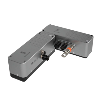
EM®
Multibeam echo sounders
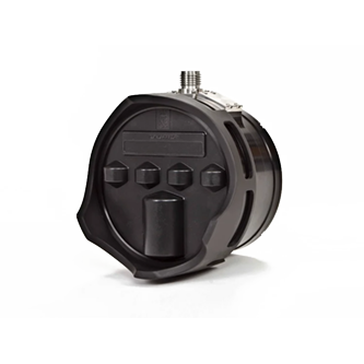
Sonars
Multibeam sonars
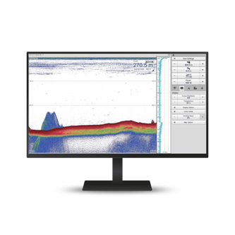
Single beam mapping echo sounder
Single beam mapping echo sounder systems
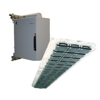
SBP29
Multibeam sub-bottom profiler
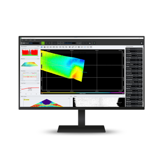
SIS5
Seafloor Information System
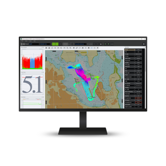
SIS Remote
Control the EM system from anywhere
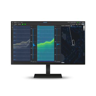
EM®SBP
Sub-bottom profiling with EM304/-124
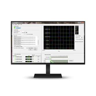
K-Sync
Synchronization unit
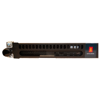
HWS
Hydrographic Work Station
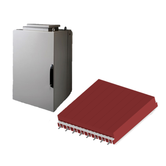
TOPAS PS18
Parametric sub-bottom profiler system
Get in touch!
In addition to our many offices around the world, our global dealership network enables distribution to more than 100 countries to meet customer needs at any location. Find your local dealership or Kongsberg Discovery office here.
