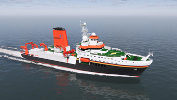
Navigation on the water is dependent on reliable solutions to support effective bridge decision-making to safeguard a vessel’s crew and assets. With a track record of more than 25 years of technological development, our user-friendly navigation & positioning solutions are thoroughly proven from decades of experience in demanding ship operations.
Our surface navigation & positioning products, designed according to IMO/SOLAS regulations, provide detailed and accurate information on vessel heading, position and the surrounding marine environment integrated into an intuitive visual display to enhance the situational awareness of crew on the bridge.
Products
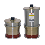
HiPAP
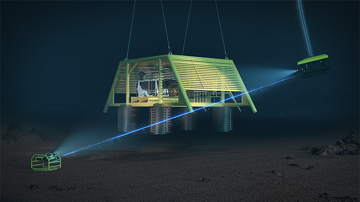
High precision acoustic positioning systems
microPAP (μPAP)
Small and portable acoustic positioning system
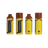
cNODE transponders
Transponders for HiPAP and microPAP acoustic positioning systems
cNODE modems
Communication link for underwater acoustic positioning systems
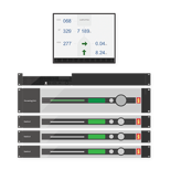
DPS
GNSS solution for accurate positioning
RADius
Short-distance relative positioning system
XPR
Long-range relative positioning
Portable SSBL
Seatrack
GNSS tracking system
AIS mobile stations
Automatic Identification System
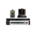
Camera Cluster (KCC)
Marine Camera System
MGC
Gyro compass and INS
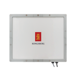
SeaAware AR
Situational Awareness System
Seapath
GNSS aided inertial navigation system
HAIN Subsea 7000
Integrated inertial navigation system for subsea vehicles
HAIN Reference
Reference for DP
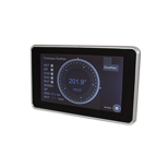
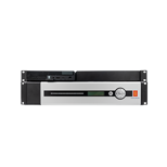
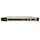
MFD 307
Multi function display
SeaPos 300
GPS navigation sensor
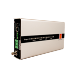
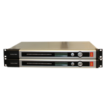
DARPS 232
DP position reference system

INS-C
Position reference system

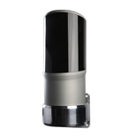
SpotScan®
LIDAR-based relative positioning reference sensor
SpotTrack
Laser-based relative positioning reference sensor
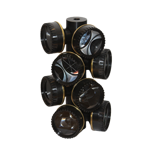
SpotTrack Prisms
Reflective targets
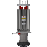
cPAP
Subsea LBL transceiver
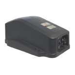
cPAP Portable
Transceiver
eBird
Seismic cable control
3710 DGNSS Receiver
DARPS 900B
Telemetry System
Get in touch!
In addition to our many offices around the world, our global dealership network enables distribution to more than 100 countries to meet customer needs at any location. Find your local dealership or Kongsberg Discovery office here.