
TD50
3D visualization software
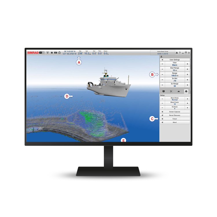
The TD50 3D Visualization software is a visualization tool that serves as a high-effective decision support instrument for research purposes and scientific surveying. It reads echo data in real time from the EK80, ME70 and MS70 systems. It can also read ADCP data from the EK80.
Improve survey efficiency
The TD50 3D Visualization software improves the overall efficiency of scientific surveying, being especially relevant to projects using adaptive sampling. The TD50 presentation acts as a "long range camera" below the surface. It enables you to see specific attributes as the vessel passes over them.
Map import
You can personalise the TD50 3D presentation by importing bottom topography and habitats to match your geolocation.
Key features
- Highly effective decision support tool
- Live-streaming in real time
- Highly accurate visualization of the entire water column
- 3D view of topography and the related bottom habitats
- Available for live streaming data from EK80, ME70 and MS70, including ADCP data
Current software version
We recommend that you always keep your system updated with the latest software version.
All applicable information related to this software release can be found in the Software release note.
Current software version is
22.9
Stay updated!
Sign up to be notified when we update our Ocean Science products.


Get in touch!
In addition to our many offices around the world, our global dealership network enables distribution to more than 100 countries to meet customer needs at any location. Find your local dealership or Kongsberg Discovery office here.


We offer comprehensive after-sales assistance
-
24/7 Technical support
Our Technical Support team is readily available to provide global 24/7 support and can respond to resolve any issues at any time, wherever you are located in the world.
-
Training
We can provide detailed training on the use of our products to ensure your crew is equipped with the necessary operational competence to minimise technical risk and maximise return on your asset investment.