Discovering the secrets of the ocean
In a constantly changing market environment, Kongsberg Discovery serves the ocean space from the deepest sea to outer space. We know and understand the challenges the world faces in the sustainability area. We develop solutions and products that are key to understanding environmental implications on the ocean ecosystem as well as solving operational challenges. With decades of in-house competence and experience, we are a trusted technology partner for our customers.

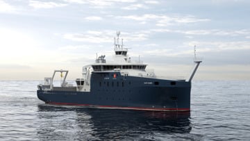
Uncrewed Surface Vessels
Payloads unlocking USV excellence
We are your premier partner for uncrewed surface vessel (USV) payloads for loads of applications ranging from seafloor mapping to surveillance and monitoring.
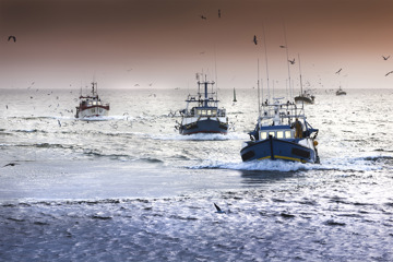
Our critical infrastructure is under attack
Critical infrastructure is a term that frequently appears in the news, especially during serious incidents that could threaten societal functions.